Mapping and Modeling Duke and Durham
Project Team

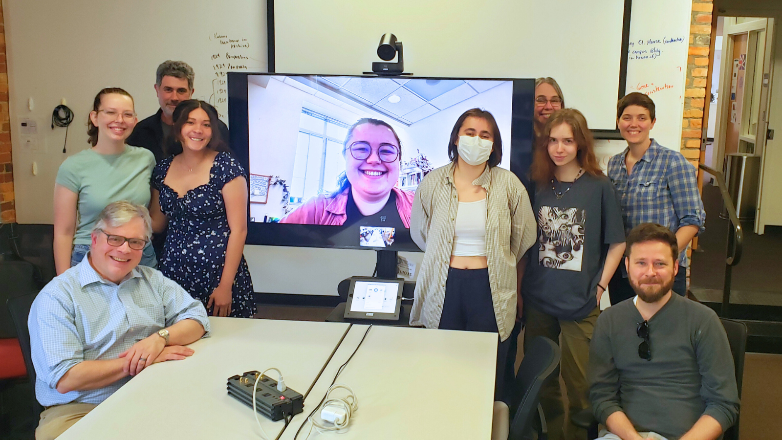
Team profile by Wendy Vencel, Hailey Kasney, Hannah Jacobs, Robert Buerglener and Victoria Szabo
Our team examined how Durham and Duke’s built and natural environments were shaped by and contributed to the development of social, economic and political conditions during Duke’s planning and construction from 1924-1932.
We combined historical research, geospatial analysis and 3D modeling to explore several broad topics: Duke’s natural and built environments; relationships between Duke and Durham; Durham’s cultural and physical expansions; and the projection of the university and the city’s images nationally and globally. Each topic was addressed by a sub-team of 2-4 students led by faculty and/or staff.

Two courses also contributed to the project, ARTHIST 390S Duke’s Historical Landscape, taught by team leaders Ed Triplett and Hannah Jacobs in Fall 2023, and ISS 356S Digital Durham, taught by team leaders Victoria Szabo and Phil Stern in Spring 2024.
Mapping provided key data across the project, especially layering historical maps such as the 1925 Duke Property Plats and the 1931 Sanborn Fire Insurance Maps of Durham over a contemporary map of Durham. We traced important features on the Duke plats, such as buildings, roads, topographic lines, trees and utilities, and will be conducting a similar process with the Sanborn maps in summer 2024.

Through digital mapping and genealogical research, we have been able to study former occupants of what is now Duke University and Duke Forest. We are enriching historical understandings of the people who lived on and worked the land and exploring how larger changes to the economy and geography of the region affected their lives.
To better understand the planning of Duke’s campus, we studied early landscape and architectural plans, creating a 3D model of an early plan that was never realized. This allowed us to explore historical counterfactual narratives to better understand the campus planning process. This work will be combined with GIS layers of land and water features planned but never constructed to create a virtual environment in which we can further explore the planning of Duke.

Students in the Digital Durham class used the digitized Duke Chronicle to gather evidence about Durham and its relationships to Duke and to the world. Additional archives-driven final research projects explored the complex economic, religious, social, cultural, racial, regulatory and educational landscapes and forces that shaped the period, at scales ranging from the individual and local to the collective and global. These stories will help frame and illuminate exhibition, online and app features to be developed in summer and fall 2024. These stories will also lead to additional research.
Using city directories, periodicals and archival sources, we also researched other emblematic buildings and sites in Durham. We developed a dataset of key businesses and business owners in Durham and their connections with Duke, emphasizing the Washington Duke Hotel, First National Bank and the Geer Building. In addition to researching the local business network, we are creating 3D renderings of these buildings to better understand their physical relationships to each other and to the city.

Along with these sites, we investigated the history of Durham’s Bennett Place. The creation of this historic site in the early 1920s illuminates debates about Durham’s place in the world and provides an important example of how other landscapes in Durham and beyond served both economic and ideological functions.
Each of these efforts will contribute to an exhibition on the changing environments of Durham and Duke between 1924-1932 scheduled to open in Perkins Library’s Chappell Family Gallery in January 2025.
